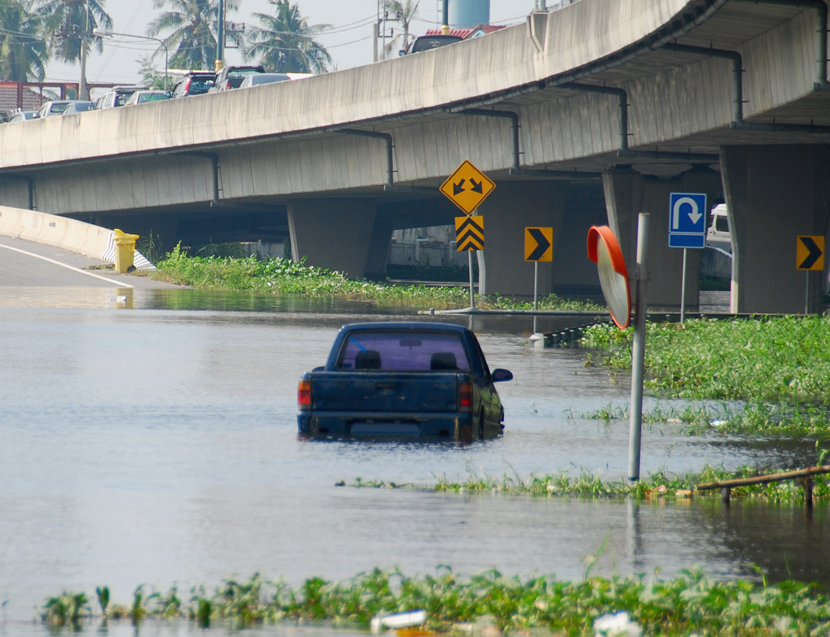
On February 14th, Pierce County Council’s Community Development Committee will give final consideration to an ordinance to adopt new flood maps issued by the Federal Emergency Management Agency (FEMA). Adoption of the maps will change flood insurance rates for some property owners when they go into effect March 7, 2017.
The committee met on Monday, Feb. 6 to hear Ordinance No. 2017-2, the “New FEMA Flood Insurance Rate Maps.” The council’s adoption of the maps is a requirement in order for citizens and businesses to obtain flood insurance under the federal program. The new flood maps were released by FEMA Sept. 7; piercecountywa.org/getfloodmap provides a document that describes how to download the maps.
Changes to the maps
The biggest change to the maps is the additional mapping detail for coastal properties at risk for flooding. Additionally, many homes built on high ground will no longer be shown as at risk and will not be required to purchase high cost flood insurance.
Special flood hazard areas – specific places in the county identified as high risk by FEMA – have also been revised and might include properties previously outside of these areas on the current maps. For properties in these areas with federally-backed mortgages, insurance is required. Flood insurance is recommended for all other properties in the mapped hazard areas, but not required.
Some areas near levees will not receive updated maps at this time. FEMA is developing new mapping standards to more accurately determine risk behind levees.
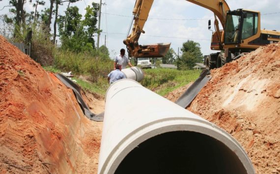
These new maps will also be used by federal and state agencies, cities and the county to determine what development will be allowed on properties within flood hazard areas of the county. Insurance companies will use the new maps to determine flood insurance rates.
Outreach
Pierce County Public Works staff have been actively working with homeowners, insurance agents, local lenders and realtors since 2004 to educate and involve them regarding the impacts of the new maps on property owners. Outreach to date includes:
· More than 17,800 postcards were mailed in 2016. The postcards have specific messages for coastal, river and urban flooding. Since 2002, Public Works has sent information about flood preparation – including buying flood insurance — to residents who live in or own property in a floodplain.
· Since last fall, postcards were sent to 503 insurance agents, real estate agents and local lenders advising them of the change in maps and information was sent to 730 property owners now residing in the flood area.
· More than 8,170 phone calls have been handled by Public Works from residents asking for information related to flood maps and flood risk on properties.
· Since 2005, Public Works has provided 3,420 free, personalized flood maps to property owners, along with technical assistance, if needed.
In April and May 2015, Pierce County and FEMA held four open houses in Pierce County to show drafts of the new maps. Residents had the option to appeal the maps if they could demonstrate that the data didn’t accurately represent their property. All successful appeals were incorporated into the new maps.
Pierce County participates in the National Flood Insurance Program and is one of five communities nationwide to have a Class 2 rating. This means property owners are able to buy flood insurance policies from FEMA and receive a 40 percent discount.
The maps currently used by FEMA, state and county agencies were approved in the 1980s. Since then, technology and more comprehensive flood data have allowed FEMA to create more detailed and accurate maps.
-Pierce County