By Morf Morford
Tacoma Daily Index
Ever get lost in Tacoma? Ever have out of town guests who marvel at the maze of streets, the turns, dead-ends, name changes and shifts from north to south, or east and west?
If so, you are in good company.
Besides changing names constantly (Pearl becomes Alameda, Bridgeport becomes Jackson, 56th becomes Cirque and Stevens becomes Tyler, Pacific becomes Schuster which becomes Ruston Way, and on the other end becomes known as Mountain Highway, among many others) you have to love the place names of streets.
Are you headed for Portland or Portland Avenue? Puyallup or Puyallup Avenue? The city of Yakima or Yakima Avenue? And how many of your out-of-town visitors have been lost because they couldn’t keep a clear distinction between Tacoma Avenue and South Tacoma Way?
Tacoma Avenue, as the locals know, also has both a north and south version.
Did no one consider that having streets named South Tacoma Avenue and South Tacoma Way might be a bit confusing?
And don’t forget Tacoma Mall Boulevard.
Think Seattle has that many streets named after itself?
Sixth Avenue is just Sixth Avenue – but every other numbered street is north or south. Unless it’s east. And a few are west. But at least we don’t do what King County does with its silly SE or NE designations.
We do our best to have standard city blocks. Except in the North Slope Neighborhood.
And the West Side (that means almost everything west of Bridgeport and Jackson, which also means places with a view of the Sound and bridges).
And the neighborhoods near Point Defiance.
And Old Town – where the street names and numbers are diagonal from everywhere else…
And don’t look for straight streets or standard-sized city blocks almost anywhere else with steep hills, creeks, mud slides, ravines, gullies, gulches, bridges, railroad tracks or any other natural or man-made obstructions.
If nature doesn’t provide an obstacle or point of confusion, our city planners or our history have thrown in a few historical puzzles and name changes just to keep life interesting.
We have a few streets that are long arterials – like Pacific Avenue (which also changes names a few times) and a few that were supposed to – like Yakima Avenue, and a bunch that, thanks to our geography, seem to hop all over the map and make us all crazy and get our in-laws lost.
Like many cities, we have our tree streets (Alder, Cedar, Pine) and president streets (Adams, Washington, Madison, Monroe).
As far as I can see, there is no particular order or pattern in these streets.
We have Fir and Juniper streets several miles from the other tree streets.
We have a Lincoln Avenue, which, for whatever reason, is many miles from the other presidential streets. It does, however, intersect with Portland Avenue.
We also have a McKinley Avenue with absolutely no correlation to any of the other presidential streets.
We also have a Garfield Street, but that’s in Parkland.
We also have streets named after cities like Fairbanks, Baltimore and Everett.
Before the advent of Google Earth and programs like it, I thought it would be fun to do a scavenger hunt of local street names most people have never heard of. Ever find yourself on Roosevelt? Bay Street? White Street? Alki? Ever hear of Cleveland Way? If you find yourself on Q Street, you are probably lost. And, in typical Tacoma fashion, T Street is (most of the time) nowhere near Q Street.
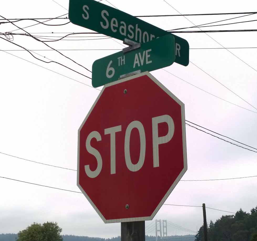
Did you know we had a Gay Street? Or a Seashore Drive?
And we have two Grandviews – one east and one west. Technically Grandview Dr W is in University Place (which does not have a university) but you can find a nearby and cleverly hidden street named Memory Lane.
In a little corner of the city up against Point Defiance, we have North Park Avenue, North Park Drive and a North Park Way.
You might think that Mildred Street is only near Tacoma Community College. There is a short piece of it along the far western side of Point Defiance near Salmon Beach.
Also in the north part of Tacoma you will find the city of Ruston. You’ll have to look closely if you are on Pearl or Orchard; there are no defining border lines. This city within a city (it is surrounded by Tacoma on three and a half sides) is the east side of Pearl, the west side of Orchard, the south side of Park Avenue (and Point Defiance Park) and the north side of North 49th – with a tiny – but crucial – corner ending at Point Ruston and Commencement Bay.
Ruston is only about a third of one square mile, with about 750 residents (2010 census) but I think it should be defined – I’d like to see some kind of marker – maybe a blue or red line around the city limits so we know what city we are in.
Technically, it is not legal for a city to be completely bounded by a larger city, but Ruston has one corner with access to Commencement Bay (the site of the ASARCO smelting facility).
And yes, inside Ruston, most but not all, Tacoma street names and numbers continue.
There actually is a neighborhood in Tacoma with two directions in their street names; that would be North East Tacoma. This neighborhood holds many unique street names like Hyada, Galleon, Nassau and of course Tok-A- Lou Avenue.
If you find yourself on these streets you either live there or you are really lost.
We also have a bunch of street names that must be named in honor of long forgotten town settlers (or their friends); that would be streets like Frace, Vassault, and Bristol.
And there must be a good story behind street names like Shirley, Winnifred and Gove.
Tacoma may not have many straight streets, or much consistency in names, but we make it up in character and history.
In Tacoma we have all the usual attractions of most cities, but in Tacoma, even when you get lost, you have an adventure waiting for you. And the street signs may – or may not – help.
And one last word to those who do not trust their fate to GPS – most residents of Tacoma are not from Tacoma and rarely even know their own neighborhood, and at just a shade less than fifty square miles and arguably the oddest shaped city in the state,if not the country, an old school paper map will serve you well – if you can find one.