
A 90-day appeal period for the recently revised Pierce County flood maps began yesterday as part of the Federal Emergency Management Agency’s process for adopting the maps.
The appeal period is to allow new information to be brought forward that demonstrates that the proposed Base Flood Elevations are scientifically or technically incorrect. During the appeal period, property owners and local government officials may contest the proposed BFEs, also known as the 100-year floodplain elevations, as long as the appeals are based on scientific evidence that demonstrates a mapping error. The appeal period will end March 19.
If finalized, the proposed elevations will become the basis for floodplain management and regulation in Pierce County. Failure to adopt the final flood maps will disqualify Pierce County residents from being able to purchase federal flood insurance.
FEMA issued preliminary maps for the county Sept. 28. Comments, corrections and protests were accepted at public meetings and during an October-November comment period. Comments were limited to map corrections such as road names, road locations, corporate limits, omissions and typographical errors.
Any property owner or lessee who believes his or her property rights will be adversely affected by the BFE determinations may make an appeal during the 90-day period. Appeals should be submitted to the county, which will review and consolidate all appeals received and forward them unedited to FEMA. The county may also elect to file an appeal on behalf of the entire community.
Individuals wishing to submit a BFE appeal for their property will need to present scientific evidence prepared by a professional engineer, surveyor, or hydrologist demonstrating why the FEMA mapped flood elevation is incorrect. Additional comments and corrections other than a BFE appeal will also be accepted during the 90-day appeal period.
The county uses the FEMA flood maps for floodplain management and regulating floodplain development. “We are anxious to finalize the new maps,” said Pierce County Water Programs manager Harold Smelt. “We believe they are substantially more accurate overall and will help us better understand who is at risk for flooding.”
Standard provisions for creating map amendments or revisions continue to exist for property owners who believe a property was incorrectly included in a Special Flood Hazard Area or is no longer part of the 100-year floodplain. For assistance and information on how to file an appeal or request for map amendment or revision, contact the Water Programs Division at (253) 798-2725.
FEMA will consider any appeal that presents scientific or technical data that challenges the information upon which the proposed BFE determinations are based. Appeals will be resolved by consultation with officials from the county, an administrative hearing, or by submitting the conflicting data to an independent scientific body or appropriate federal agency. The reports and other information used for the final determination will be made available for public inspection.
More Stories From This Author

OLSON BROS STORAGE-Public Notice
By Amanda Kahlke amanda.kahlke@tacomadailyindex.com
CAUSE NO. 24-4-00937-2 -PROBATE NOTICE...
By Amanda Kahlke amanda.kahlke@tacomadailyindex.com
STRANG MULTI FAMILY-PUBLIC NOTICE
By Amanda Kahlke amanda.kahlke@tacomadailyindex.com
NO. 24-4-00858-9 -PROBATE NOTICE TO...
By Amanda Kahlke amanda.kahlke@tacomadailyindex.com
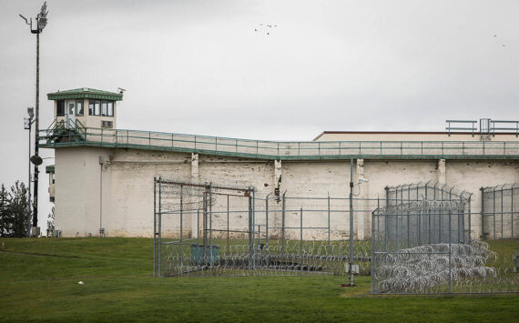
Lobbying the Legislature from behind bars
Prisoners have gained a louder voice shaping legislation in Washington state — but some of them say the Department of Corrections isn’t making it easy.
By Grace Deng Washington State Standard For the Tacoma Daily Index • April 22, 2024 1:30 am

More than martial arts: Tacoma Aikikai fosters connection
Discover a welcoming community that supports growth on and off the mat.
By Mariah Beckman For the Tacoma Daily Index • April 19, 2024 1:30 am

Foam coolers, takeout containers will be banned in WA
By Bill Lucia / Washington State Standard
By Bill Lucia Washington State Standard For the Tacoma Daily Index • April 18, 2024 1:30 am